
Sailing meteorologist Chris Tibbs looks at gusts and squalls, suggests when to expect them and advises how to tell the difference
Rarely do we have a day when the wind is steady in both direction and strength; we are even seeing warnings on forecasts that gusts may be 40 per cent, or higher, than the average wind speed. These are gusts, while a warning of thunder or showers indicates that strong squalls are possible.
But first let us look at some definitions.
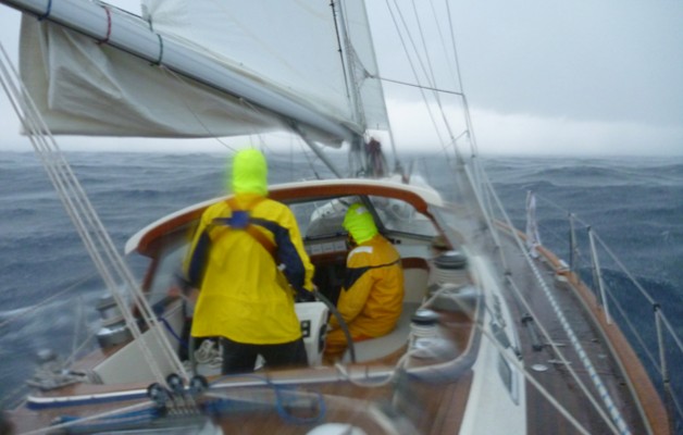
What is a gust? A gust is a rapid increase in the wind speed relative to the mean strength at the time, and it is short-lived. A squall is a strong rise in wind speed which generally lasts for some minutes – the official definition is that the wind has to rise by at least 16 knots to a speed of greater than 22 knots and to last for at least one minute.
On the Beaufort scale the increase in wind is by at least three forces to a Force 6 or more. This is usually associated with heavy showers and possibly thunder. Sailors historically referred to cold fronts as squall lines and it is easy to see why as all the ingredients of a squall are in one place extending for many miles.
We can think of gusts as turbulence often caused by obstructions in the wind, which is particularly noticeable when sailing in an offshore wind. The gustiness can be quite extreme with rapid changes in speed and direction. However, gusts happen not just in an offshore wind, but also around clouds where there is often considerable turbulence as the wind moves vertically as well as horizontally.
This turbulence can be defined as instability in the atmosphere and, although meteorologists will define this in a number of ways, when sailing I tend to simplify it into days of no clouds or layer clouds, which indicates a stable atmosphere with low gust activity and days when we have cumulus clouds which are indicating some vertical movement in the atmosphere (just watch how high gliders can fly).

The difference between gusts and squalls are therefore quite well defined, but they are not the only reasons that we can have big increases in wind over a short distance or time. Around the coast the geography can create a large increase in wind although these tend to be longer lasting, more permanent features.
Forecasts and observations will give a good indication if squalls or gusts are likely. Wind direction and cloud patterns are important – wind off the land will always give gusty conditions and the type of cloud will offer clues. Layer clouds found, for example, in the warm sector of a depression will generally give small gusts as the atmosphere is relatively stable. However, when the cold front arrives we get large towering clouds, heavy rain (with big drops), and squalls.
Wind direction and the type of weather we have are also closely linked as the wind direction will indicate what the air mass is, which in turn indicates stability in the atmosphere. This works well when sailing in familiar waters. Further afield tropical squalls are often met on the tradewind passage across the Atlantic and can be quite exciting with galeforce gusts on the leading edge of the squall, along with heavy rainfall.
Forecasts will indicate squall and gust activity but may be hidden. Mention of showers or thunder implies squall activity from the existence of cumulonimbus clouds, and thunderstorms can create severe squalls with hail. However, rain implies precipitation from layer clouds and, although this will get you just as wet, will not be accompanied by a squall.

Chris Tibbs is a meteorology and weather router, as well as a professional sailor and navigator, forecasting for Olympic teams and the ARC rally. He is currently on his own circumnavigation with his wife, Helen. His series of Weather Briefings can be seen here
See also:
Chris Tibbs prepares his own boat for an Atlantic crossing
The best route for an Atlantic crossing
Taking the northerly route across the Atlantic
Offshore weather planning: options for receiving weather data at sea