
Peter Cumberlidge cruises the coast of north Brittany and investigates a slower pace of life among the many island anchorages
Something about north Brittany draws us back – there’s drama to its rocky estuaries and offshore reefs even on quiet sunny days.
Having kept Stormalong, our 1936 gaff cutter, in south Brittany for several seasons, we felt a yen for the wilder seascapes and tides of the north. The French Biscay coast takes some beating for relaxed cruising, with its warm weather, golden beaches and handy marinas. But something about north Brittany draws us back – there’s drama to its rocky estuaries and offshore reefs even on quiet sunny days.
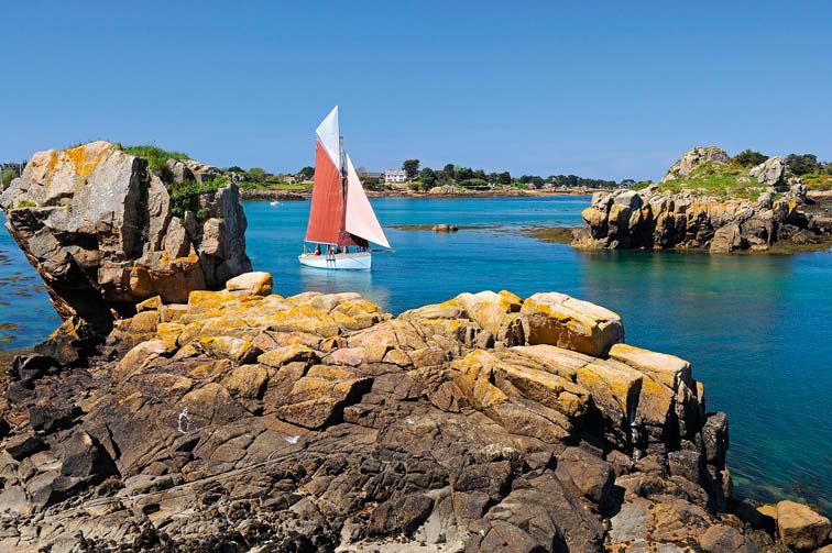
While the powerful streams add spice to sailing, the magic ingredient here is the extravagant tidal range, which changes the characters of harbours and rivers almost as you watch, making pilotage simpler or more delicate, and anchorages more open or enclosed. Cruising from L’Aberwrac’h to St Malo, the rhythm of tides becomes ingrained in your psyche for departures and arrivals, approaching channels, even going ashore in the dinghy.
Our drift north started at Camaret-sur-Mer, that popular staging post just outside Brest. On the cliff paths behind the town, we gazed at the long north shore of the Brest approaches which jutted out to Pointe de St Mathieu. Beyond it, the smudge of Ile de Béniguet hinted at the north Brittany islands waiting to be enjoyed, so we were away early the next morning, ghosting before a gentle south-easterly towards St Mathieu.
The southern part of the Chenal du Four is shielded by a chain of islands and reefs straggling 15 miles north-west from Pointe de St Mathieu. As we rounded this headland and its ruined abbey, Béniguet beach gleamed in the sun two miles off. Behind Béniguet is the islet of Quéménès, where a young family grow potatoes that some chefs say are the best in the world. They also have cottage rooms to sample their utter peace.
Four miles long with over 800 inhabitants, Ushant is the largest, most seaward island. By contrast, Ile-Molène beyond Quéménès is only half-a-mile squared, with a village on its landward side. Four miles up from St Mathieu, we turned towards this cruising gem around Pourceaux buoy and crept between softly seething reefs towards a distant church spire.
It was eerie leaving the well-marked channel for the rocky byways of the archipelago. Even in warm sunshine, we felt a bit lonely until a ferry from Le Conquet powered up astern. These sturdy little ships shuttle visitors, locals and freight here all year. I had set waypoints along Molène’s approach transit – a white post on an islet in line with a ruined mill. Within a mile of the post we veered north around a string of humped rocks in front of the island before entering the harbour.
From a visitors’ buoy, we surveyed the village, its weathered houses huddled close against the elements. The church stands a little way inland and beyond it is an old semaphore tower which you can climb for panoramic views. A short pier protects Molène’s drying inner harbour, behind which is a small hotel, Kastell an Daol.
Sculling ashore after lunch, we threaded through narrow paths, past cottage gardens, vegetable plots and backyards draped with washing or crabpots. Stocky Breton ladies peered from kitchen windows or ambled down alleys with shopping bags. Near the island church, a cemetery is dedicated to the hundreds of passengers and sailors who drowned in 1896, when the steampacket Drummond Castle was wrecked off Molène in thick fog on passage from South Africa to England. Only three people survived.
This is an extract from a feature in Yachting World May 2014