
Olympian, America’s Cup winner and New Zealand Champion in multiple classes, Jon Bilger, explains how to use tides and tidal currents
We all know the tide ebbs and flows. It’s as predictable as the sun rising or the seasons changing, but it’s also not an exact science. Getting the timing wrong can mean an extended journey battling against a relentless current, so a good understanding of how to use tides and tidal currents to your advantage is vital.
Traditionally we’ve relied on tide tables and local knowledge to get by, but what if we’re heading into unfamiliar areas or planning a passage? How do we know when it’s the perfect time to set off?
Just as the weather data available to sailors has become increasingly detailed and accurate in recent years, so there has been a step-change in the tidal data available. In December 2023 PredictWind launched its PredictCurrent technology, a high-resolution current modelling system.
Developed by a team of oceanographers over a two-year period, PredictCurrent covers areas of strong currents with up to 100m resolution, leveraging bathymetry down to 30m. The result is a global tidal current map covering 90% of the earth’s coastlines that integrates with PredictWind’s existing forecasting models.
This integration enables sailors to access precise data on complex currents while eliminating the need for multiple sources. The data is more detailed in areas where there is more current, so areas with high tidal flows use a higher resolution model (100m) but areas where there is less current use a lower resolution model (400m and 4km). The data is continuous but presented hourly: the 100m resolution model shows 36 hours in the future, the 400m/4km model goes as far as 10 days.
Unlike conventional static tide tables or charts, PredictCurrent provides a visual representation of tidal movements, highlighting flow patterns, strength variations, and the emergence of eddies. It’s designed to allow sailors to make informed decisions based on detailed maps, effectively removing guesswork from the planning process.

Complexities of the Solent at different stages of the tidal cycle
Tidal dynamics
Tide dynamics encompass far more than simple ebb and flow. The gravitational pull of the moon creates bulges on either side of the Earth, and as our planet rotates, these bulges shift, resulting in tidal currents. Yet, this is just the beginning.
When you factor in topographical effects such as land and seabed contours, river outflows, wind patterns, and temperature differentials, it creates a uniquely intricate and dynamic environment. Until now, navigating this complexity has largely been the realm of seasoned professionals or a select few sailors with years of experiential knowledge of a specific region.
Consider the Solent, a great example of an area where sailors often pore over books and charts in an attempt to synchronise the tide cycle with static images. Here, animating the tide cycle can provide invaluable visualisation, aiding in the understanding of these intricate tidal movements.
Article continues below…

How to weather forecast on passage
While it’s essential to monitor the conditions when choosing the best weather window for departure, equally important is being well-versed…
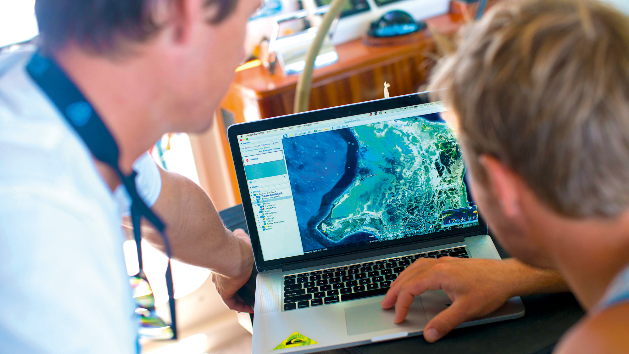
Using Google imagery for yacht navigation?
Every cruiser is familiar with that tingle of doubt: is my chart really up to date, and is that shallow…
While routing can offer insights into depth avoidance and the interplay between wind and current, for those traversing rocky coastlines or navigating tight channels, precise charts and real-time tidal modelling provide a distinct advantage.
Most of the high resolution modelling (100m) is focussed on high current areas that are populated. For example, the Puget Sound down to Seattle is proving to be a very popular area for PredictCurrent users. In Australia the tidal currents in the Whitsundays islands are of key importance for both cruising and racing sailors.
The 400m model, meanwhile, covers 90% of the world’s coastlines – or in other words, anywhere a cruising yacht may go: the Azores, Canaries, Maldives, Mauritius, all of Indonesia, Papua New Guinea… this level of global coverage is a world-first.

PredictCurrent showing ocean currents on a route from Galapagos to Tahiti
Tides and routing
PredictCurrent is designed to be incorporated into PredictWind’s weather routing and departure planning tools for coastal sailing. This tool factors in multiple variables, such as wind patterns, boat dynamics, time, and distance. By including tidal current data, skippers can receive more precise information, including alerts about potentially hazardous scenarios.
For cruisers, optimal departure timing may involve harnessing favourable tidal currents while strategically navigating wind against tide scenarios. For example, in conditions where winds exceed 12 knots against a strong tide flow, sea states can become notably uncomfortable.
Meanwhile, racing skippers can access precise tidal data where the focus is on leveraging the strongest current in the direction of travel or seeking tidal relief when currents are unfavourable. Competitive sailors are accustomed to strategically hugging the coastline in a race to capitalise on tidal relief, and there are many situations where even a minor adjustment of 100m can provide a tactical advantage over close competitors.
High-resolution data now gives added certainty regarding yacht positioning relating to current direction and strength. Toggling on the ‘Current Data’ feature gives a visual representation, both graphically and in detailed tables. The router tool also includes a setting for time lost during a tack, to help predict how many tacks is optimal – for example when short tacking along a coastline to avoid adverse tidal currents in the channel.

High tide times are shown on the homepage of PredictCurrent, displayed in tables along with wind, current and wave data
Ocean Currents
Typically, setting out on a passage will involve navigating through complex coastal areas before transitioning into the open ocean. As you sail into deeper water the tidal currents have less and less effect as you move away from the coastline. The ocean still moves, but this movement is not so driven by the moon’s gravitational pull. Surface ocean currents are mainly driven by wind, sea temperature and salinity differences.
When sailing close to the coast or in shallower waters tidal currents are the dominant factor, once offshore we’re in ocean currents territory. To allow for this transition for yachts sailing offshore, PredictWind has integrated PredictCurrent with Mercator Ocean. Mercator is an ocean currents model that uses the ECMWF wind data.
The coastal tidal currents and the ocean current models are combined together, so navigators always see whichever is the most dominant current that will affect their boat. Ocean currents have less detail with a lower resolution model, but essentially show the same thing as tidal currents – speed and direction – the only difference is the cause.
Ocean currents are particularly strong in areas like the Gulf Stream off the East Coast, USA, and the Benguela and Agulhas currents off the coast of South Africa, to name a few examples.
 If you enjoyed this….
Yachting World is the world’s leading magazine for bluewater cruisers and offshore sailors. Every month we have inspirational adventures and practical features to help you realise your sailing dreams.Build your knowledge with a subscription delivered to your door. See our latest offers and save at least 30% off the cover price.